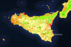
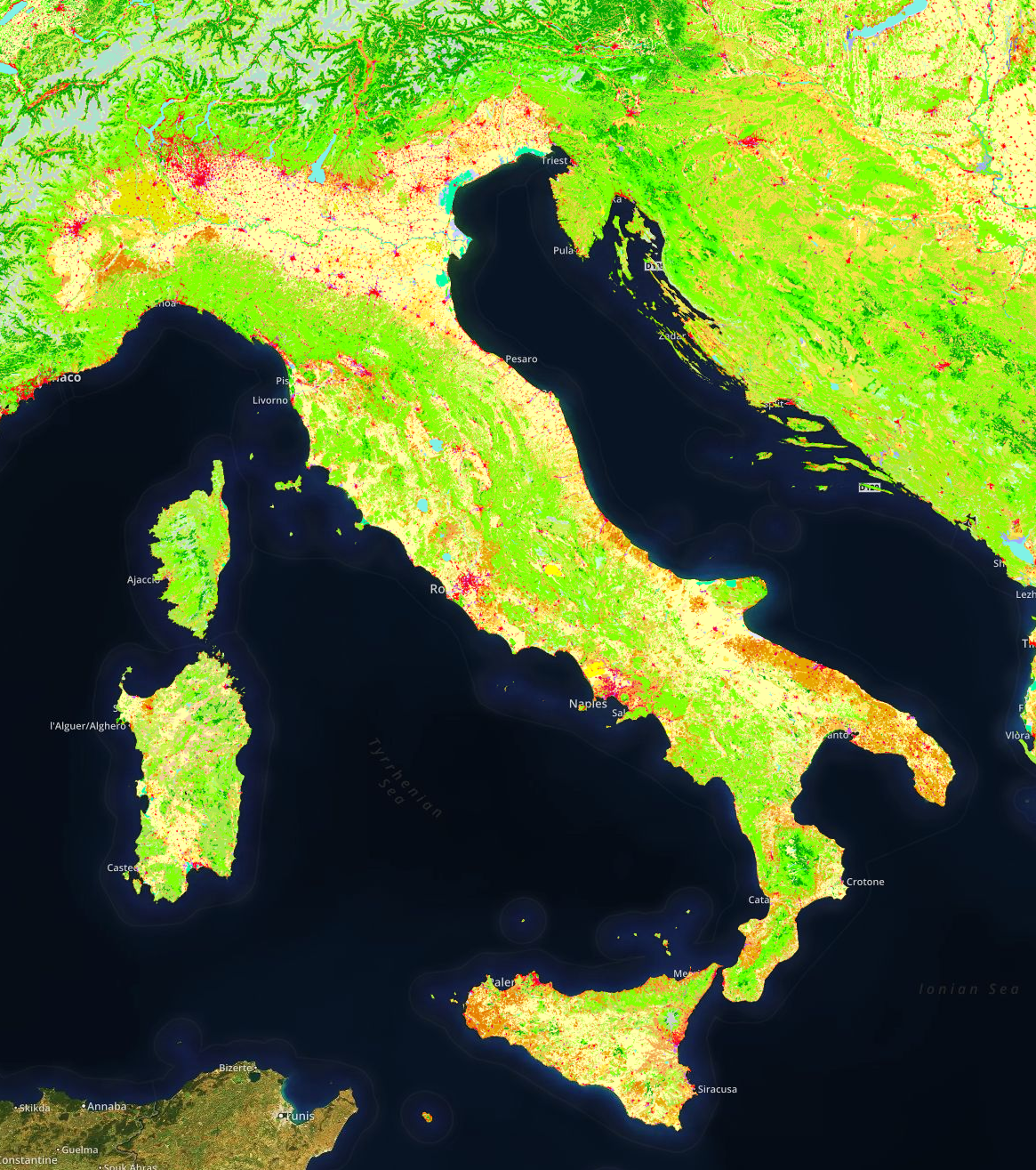
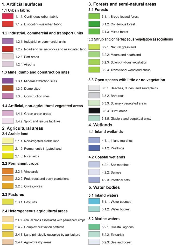
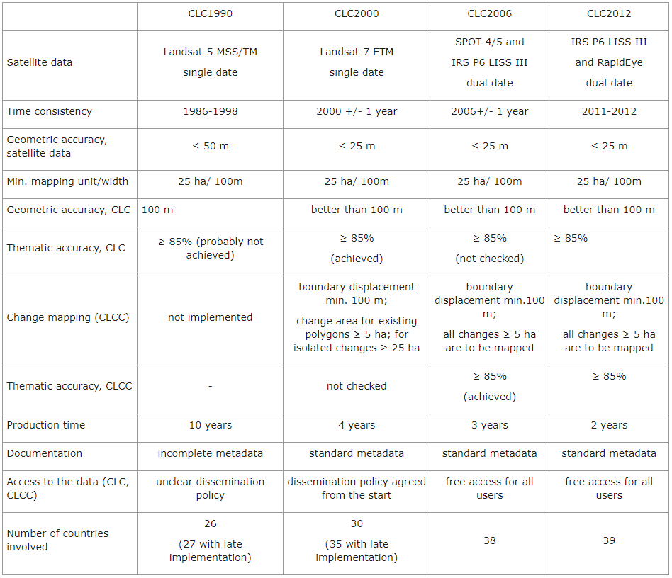
 Land is a finite resource. How it is used constitutes one of the principal reasons for environmental change, with significant impacts on quality of life and ecosystems, as well as on the management of infrastructure. Europe is one of the most intensively used continents on the globe, with the highest share of land (up to 80%) used for settlement, production systems (including agriculture and forestry) and infrastructure. The CORINE Land Cover (CLC) inventory was initiated in 1985 (reference year 1990). Updates have been produced in 2000, 2006, and 2012. It consists of an inventory of land cover in 44 classes. CORINE Land Cover uses a Minimum Mapping Unit (MMU) of 25 hectares (ha) for areal phenomena and a minimum width of 100 m for linear phenomena. The time series are complemented by change layers, which highlight changes in land cover with an MMU of 5 ha. (source)
Land is a finite resource


